16-01-2019
VIND version 2.4 has been released
VIND just got even better. We have optimized different areas of the application and reduced the size of all the dynamic layers. We even added some new bottom layers, providing
information about the bottom current, sediment and sea cabling.
The major features in VIND 2.4 are:
- New background map added with a light theme.
- View the bottom current at any position in the North Sea, with a 5 day forecast.
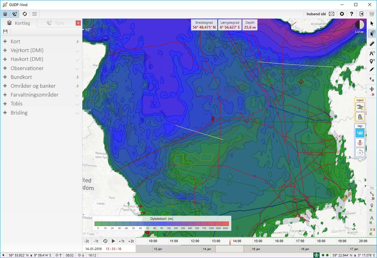
- View the depth at any position in the North Sea.
- View the different sediment types in the North Sea.
- Get an overview of the cables in the North Sea.
- Reduced layer sizes for dynamic layers.
- Improved overview of historical catches.
VIND is a free windows application, so please contact us if you want to give it at try.